Web Map of the Week
Washington Coastal Atlas
https://fortress.wa.gov/ecy/coastalatlas/tools/Map.aspxThis is an interesting approach. The map is mostly blank until you add layers via the ‘Add map data’ link. You will see these layers again…
Ability to share (create a link) a specific location and scale along with visible layers.
- Think about...
- What is the purpose?
- What is the basemap here?
- What are the thematic or business or operational layers?
- What kind of interactivity is available?
Reading and Lesson Review
https://play.kahoot.it/Announcements
Quiz results are available *everyone did great
Career Night Feb 12th Time TBD
Castle Rock Water has an open GIS Tech position. If you are interested please see the attached job description and apply online at crgov.com/jobs . The position closes March 3.
Get on the GIS Colorado listserv if you aren't already
http://giscolorado.org/listserv/
Anything else?
Check in
Lecture 1
All the Words
#html#js#javascript#css#mashup#mapservice#SaaS#OpenData#interoperability
Others?
we'll figure out a good place to put these and be able to add to them#Mashups
*cringe, this might only apply to music now but this is what the book calls them...- Can be a custom application but no longer has to be
- No longer need to be a computer scientist to create them
- There is a whole graduate level course on 'GIS Mashups' at Penn State!
https://www.e-education.psu.edu/geog863/
Data Services, STILL
This is the last class we will focus on them, now on to using them...Just know that there is an ever increasing trend toward opening data and making it available to the public and very often to developers (for now...)
another real example
- Seattle Parking Map
- Need a way to access it from mobile, duh
- Decided to open the data so others could do it
- Parking related services used to build the parking map
http://gisrevprxy.seattle.gov/arcgis/rest/services/SDOT_EXT/DSG_datasharing/MapServer
http://www.seattle.gov/transportation/parking/appinfo.htm
Examples using these same services:
DowntownSeattleParking.com was developed to find parking during the colossal tunnel project!http://downtownseattleparking.com
Hint: you could make a parking related app for your final project...
some more examples
City of Boulder
https://bouldercolorado.gov/open-data
National Park Service
http://public.nps.opendata.arcgis.com/
Rocky Mountain National Park
http://romo.nps.opendata.arcgis.com/
#Mashup Example: Mapping the DC Metro
https://www.mapbox.com/blog/dc-metro-map/- Using Mapbox along with 2 open data portals to create a Washington Metro
- DC Open Data
- Washington Metropolitan Area Transit Authority’s API
final app is here https://www.mapbox.com/bites/00301/
New Rule
- Lab SOP
- I will walk through them on the big screen and I will ensure that everyone is at least where I am. Holler if you’re not.
- I will tag exercises as #WalkThrough if you need to stop and wait for me\us
- If you choose to go ahead where appropriate, I will prioritize those that stay with me for help
- Lifehack: Don’t. Get. Frustrated. ---OR--- It's OK to get frustrated...

- I will include the Task description and it’s Objective for each exercise
Lab 1
Desktop GIS and Map Services
Break
Lecture 2
All the CODES!
Front End Development
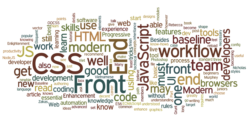 Image source: http://blog.naustud.io/2015/06/baseline-for-modern-front-end-developers.html
Front End Developer Handbook
https://frontendmasters.gitbooks.io/front-end-handbook-2017/content/
Lab 2
Getting into it!
We are going to combine #html #css and #js
*and remember new lab rule #4
For Next Week

- Reading from Text book
- Text book 4 + 4.1: Geospatial Mashups: Evolution and Impact
- Text book 4.2: Web contents, functions and interfaces
- Supplemental (i.e. not in the syllabus)
- Watch the 'CSS Basics' video on Khan Academy
https://www.khanacademy.org/computing/computer-programming/html-css/intro-to-css/p/css-basics
For Next Week
Reading Notes
- Text book 4 + 4.1: Geospatial Mashups: Evolution and Impact
- All of this is worth reading. Keep our #OpenData tag in mind here and all of the portals and #APIs we’ve looked at that can be used in our web maps.
- Understand, at a high level, the difference between server side and client side mashups. Just take a good look at diagrams 4.3 + 4.4
- Democratization of web GIS application development: understand this section. You fall right in here with a leg-up because you are GIS Pros.
- Text book 4.2: Web contents, functions and interfaces
- Understand what is meant by a ‘browser side API’ but pay not attention to those mentioned such as Flex and Silverlight, they are dead.
- 4.2.2 sums up our different components pretty nicely, web services, APIs, REST, etc.
- You can skip 4.2.3